


Next: optimUMTS files
Up: Output data visualization
Previous: Mobile user distribution parameter
Contents
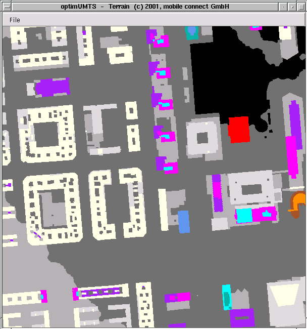
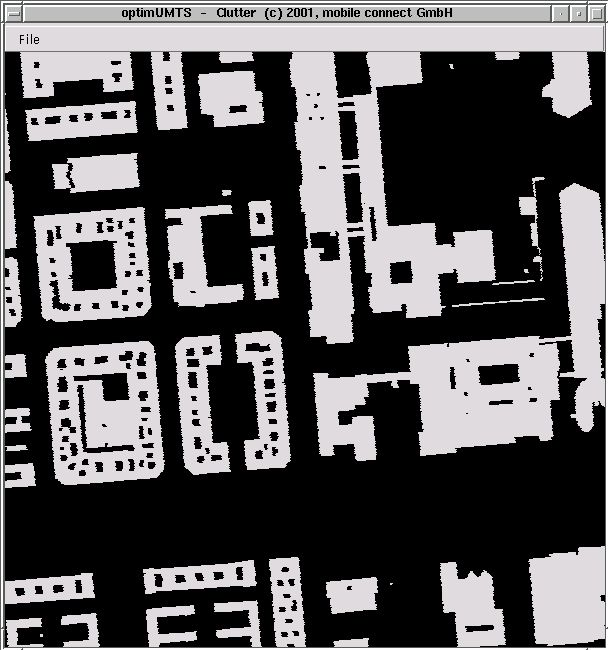
Terrain map and building clutter
The terrain map (on the left hand side)
shows the terrain heights according to the underlying grid.
The corresponding building clutter is shown below.
© 2001-2002, mobile connect GmbH, optimUMTS Manual Version 2.0