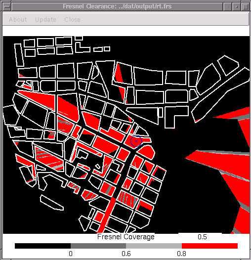
The Fresnel-coverage map shows for all receivers within the area the clearance percentage of the n-th Fresnel-zone.
Example of a Fresnel-coverage map (with thresholds) where the receivers have been located with relative height of 1 meter, i.e., they are placed above the building blocks:

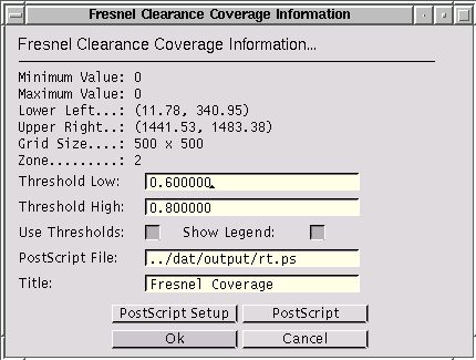
The transmitting frequency was set to 20 GHz. More information and the possibility to update or export the map can be accessed through the [Update] menu entry of the window, which presents, for instance, a dialog like:

The threshold values provide a mean to color the map with only
four colors, where the actual color depends whether a certain
receiver point has at least that clearance percentage.